ABout Us
Whether you need aerial surveying, high-accuracy mapping, data analysis, or advanced technical support, we’re ready to deploy our expertise and equipment to meet your needs. With years of industry experience and top-tier tools, we ensure that your project is completed with accuracy, speed, and quality.
Why Choose Us for Scouting?
Expert Team
Skilled professionals trained in advanced surveying, mapping, and inspection methods.
Cutting-Edge Technology
From drones and LiDAR to high-performance servers, we use industry-leading tools.
Custom Solutions
Tailored project planning to fit your exact requirements.
Fast Turnaround
Efficient workflows to save you time without compromising quality.
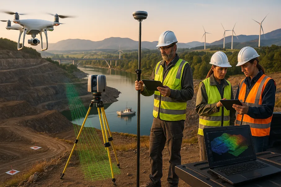
Our Scouting Capabilities
We offer a range of scouting and data collection services, including:
- Aerial Mapping & Surveying – High-resolution images and accurate mapping using UAV technology.
- LiDAR & Photogrammetry – 3D modeling and precise measurements for construction, mining, and environmental projects.
- Bathymetric Surveys – Underwater mapping for marine and water-based projects.
- Site Inspection – Visual and data-based inspection for infrastructure, land development, and industrial areas.
- Data Processing & Analysis – Turning raw data into actionable insights using powerful computing systems.
How It Works
Request a Consultation
Share your project requirements with our team.
Site & Scope Assessment
We evaluate your needs and recommend the right approach.
Deployment
Our team and equipment arrive on-site for data capture.
Delivery
Processed reports, maps, and models are delivered in your preferred format.
Ready to Get Started?
Let’s discuss how we can bring value to your project.
Call us: 919 769 2300
Email: info@tlgconstruction.ink
Or use our [Contact Us] form to request a quote.